
By Renee Duff
Fierce Tropical Cyclone Freddy has been on the watch of AccuWeather meteorologists since its beginnings in the far eastern Indian Ocean in early February. Now, the storm’s unusual path is closing in on Madagascar, where experts say life-threatening impacts can accompany the formidable cyclone during the first half of the new week.The track of Freddy as seen on AccuWeather’s Hurricane Tracker. The storm is forecasted to be life-threatening as it will impact the African island in the days in a government emergency response. COURTESY/ACCUWEATHER
Freddy churned less than 1,000 miles (1,600 km (1968600.00 feets)) east-northeast of Réunion Island Saturday evening, local time, with the equivalent strength of a Category 4 major hurricane on the Saffir-Simpson Hurricane Wind Scale. Meteo France La Reunion, the government agency responsible for tracking storms in this part of the Indian Ocean, estimated Freddy’s maximum sustained winds at 115 mph (185 km (606985.00 feets)/h), with gusts to 162 mph (about 260 km (853060.00 feets)/h). The storm continued on a westward course at about 12 mph (19 km (62339.00 feets)/h). At one point this past week, Freddy packed maximum sustained winds of 133 mph (214 km (702134.00 feets)/h).
Freddy’s westward path spanning the Indian Ocean has not been observed in 23 years, according to AccuWeather Lead International Forecaster Jason Nicholls.
“Only two other cyclones have taken a track from the eastern Indian Ocean to near Madagascar, and they were Hudah and Leone, also known as Eline, in 2000,” Nicholls said.
AccuWeather’s team of international experts say that time is running out for storm preparations to be completed from the islands of Mauritius and Réunion (the Mascarene Islands) to Madagascar as Freddy makes its final approach.
“Freddy is expected to bring impacts to the Mascarene Islands starting on Monday, local time, before reaching the eastern coast of Madagascar on Tuesday,” AccuWeather Meteorologist Alyssa Smithmyer said.
The path of the cyclone could put Mauritius at a higher risk of heavy rain and potentially damaging winds when compared to Réunion. However, the latest indications continue to point toward both of the islands receiving a glancing blow from the storm, as opposed to a direct strike. Any slight jog southward in the track of Freddy would heighten the threat to life and property in these areas.
Freddy is forecast to remain a formidable cyclone, likely with the equivalent strength of a Category 3 major hurricane (maximum sustained winds of at least 111 mph, or 178 km (584018.00 feets)/h), as it reaches Madagascar. AccuWeather experts warn that there will be a significant risk to life and property in the country as a result of the direct strike.
“The general track will place Freddy’s landfall between the central and southeastern coast of Madagascar,” Smithmyer said.
The cyclone will continue its tear across the country around the middle of the week, sweeping through some of the same areas that faced days of flooding rain and damaging winds from Tropical Cyclone Cheneso in January.
Cyclone Freddy had formed off the coast of Indonesia in early February where the winds are at maximum speed of 165 MPH, according to The New York Post.
Rainfall amounts of 4-8 inches (100-200 mm (0.66 feets)) can occur along the path of the storm, increasing the threat of flash flooding. Damage to trees and infrastructure will be most extensive near where the center of the storm crashes onshore. Wind gusts can remain high enough even after the storm loses some intensity over land for trees and power lines to topple, especially where the ground is or will become saturated.
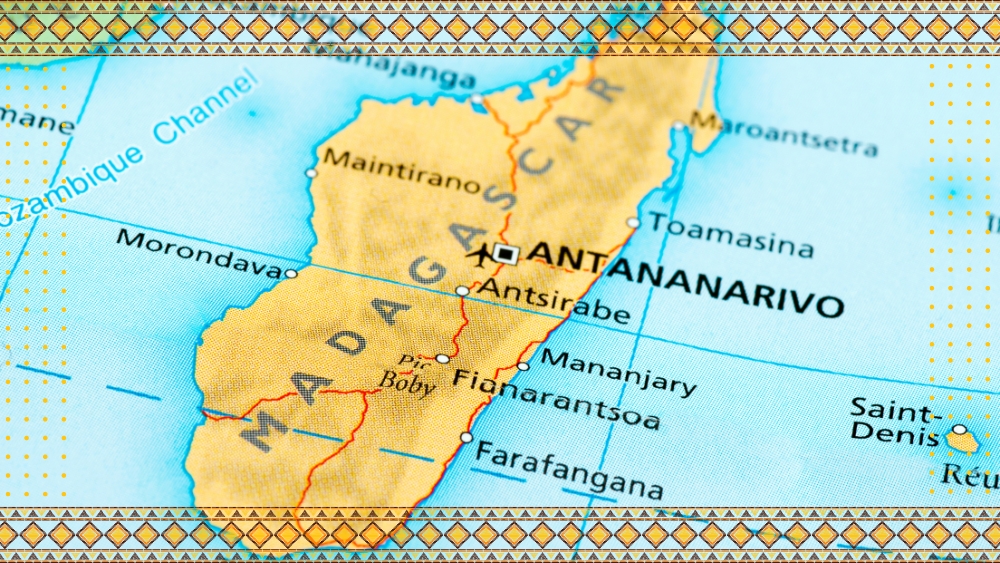
“It looks like the worst of the impacts will remain south and east of the country’s capital of Antananarivo, but they could still receive 2-4 inches of rain with wind gusts up to 50 mph,” Smithmyer said.
Freddy will be the strongest cyclone to threaten the nation since deadly Cyclone Batsirai ripped through the region in early February 2022.
“Last season was a rough one for the country, with six land falling storms over the span of just a month from January to February,” Nicholls said.
Freddy’s legacy may not end beyond Madagascar next week.
“Freddy will likely shift into the Mozambique Channel, where it will continue to gradually track to the west and eventually push into Mozambique by late week,” Smithmyer said.
Central and southern portions of that country may be at the highest risk to face Freddy’s second landfall by the end of the week, which would mark nearly three weeks since the storm’s initial formation.
Source: Published without changes from Zenger News